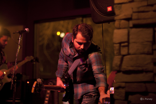
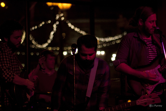
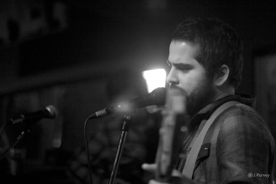
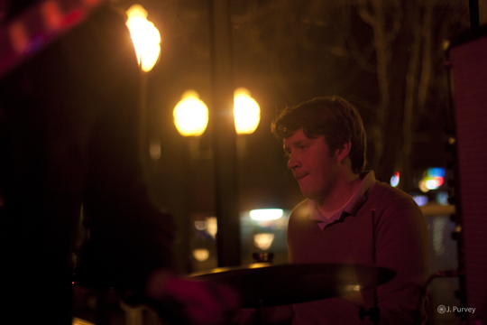
Photos: Big Lake At Republic
by Jon Behm · Published · Updated
— Photos By Jesse Purvey
.
Phillip Lionel Barton: Map Librarian, Alexander Turnbull Library, Wellington.(Obituary)
The Globe July 1, 2011 | Marshall, Brian Phil Barton was born in Cleathorpes, Lincolnshire, England, in 1925. He spent the last year of his formal education studying navigation at the Nautical School in Grimsby. Phil served with the Royal Air Force from 1943 to 1952, and the Royal New Zealand Air Force from 1952 to 1965. At one time Phil was the Administration Sergeant for the Air Force, and one of his tasks was maintaining a large collection of aeronautical manuals and maps covering airways and military and civilian airfields. The maintenance of this collection involved indexing, and dealing with the numerous replacements and amendments. When this job came to an end Phil arranged a transfer from administration to the RNZAF Education Service as a librarian. This he did from 1958 to 1965, at both Wigram and Whenuapai. Phil obtained his New Zealand Library Association Certificate in 1963 (and was granted an Associateship of the New Zealand Library Association in 1971).
Phil joined the National Library Service (NZ) in 1965, and worked on Graham Bagnall’s retrospective New Zealand National Bibliography to the year 1960. He became Map Librarian at the Alexander Turnbull Library in 1973, and held that position until August 1986, when he retired.
His mapping interests included Maori cartography, and mapping the Tararua Ranges, and he had papers published on these topics. He contributed a chapter to volume 2 of the History of Cartography (University of Chicago Press, 1998) titled ‘Maori cartography and the European Encounter’. Phil was a keen and accomplished tramper, and occasionally was involved in search and rescue operations when others got into trouble. His other interests included photography, navigation and book collecting. He managed to build up a magnificent collection of books relating to mapping and navigation. He was keen on radio, and was a member of the New Zealand Radio DX League. Phil had an impressive receiver which allowed him to listen to radio stations from many exotic places. As his health deteriorated Phil realised that he would have to dispose of his radio equipment, and much of it was donated to the Wellington Amateur Radio Club.
He acted as Secretary and President of the New Zealand Map Keepers Circle / NZ Map Society at various times, and was a life member of the NZ Map Society. He was a regular attendee at the Society’s seminars. He also served on the committee of the New Zealand Cartographic Society, and on the ARANZ Cartographic Archives Committee.
The last annual seminar of the New Zealand Map Society that Phil attended was in 2004. After that he lost touch with the Society, and rather sadly suffered from memory loss in his later years. newzealandmapnow.com new zealand map
Phil belonged to a variety of other cartographic organisations. These included, from time to time, the Australian Institute of Cartographers, the British Cartographic Society, the Australian Map Curators’ Circle, and the Society of University Cartographers. He was a Fellow of the Royal Geographical Society, and a member of the Hakluyt Society and the Society for the History of Discoveries.
Phil will be remembered for his enormous passion for maps, his considerable knowledge of them, and for always asking questions of speakers at Map Society conferences. He will be remembered as a slender wiry and amazingly fit man, always leading the way (from way out in front) when on a Map Society fieldtrip. Phil will be remembered for his interesting attire–even in the middle of winter he would wear shorts. He will also be remembered for his loud laugh, which was easily heard above the noise of any pub gathering.
Phillip Lionel Barton was born on 4 December 1925. He died peacefully on 17 June 2010 at Elizabeth Memorial Hospital, in his 85th year.
Publications about Barton:
SCADDEN, KEN, 1990, ‘The Barton Years’, New Zealand Map Society Journal, 4: 7.
[MARSHALL, BRIAN], 2001, ‘Cartobibliographies 2: Phil Barton’, Datum, 14: 9-10.
Publications by Barton:
1975, ‘Maps and Maori settlement to 1860’, New Zealand Cartographic Journal, 5(1): 2-3.
1976, ‘Bishop Selwyn’s Map’, Turnbull Library Record, 9:49.
1977, Aotearoa takes shape: an exhibition of maps and charts from the collection of the Alexander Turnbull Library illustrating the supposed great southern continent and the destruction of this myth and the emergence and mapping of New Zealand, Alexander Turnbull Library, Wellington, 20pp.
1977, ‘A bibliography of material relating to the surveying and mapping of New Zealand’, The Globe, 8: 14-22. Also appears in New Zealand Cartographic Journal 7(1): 28-33 & 7(2): 19-23 and Bulletin, Geography & Map Division, Special Libraries Association, 109: 24-32.
1978, ‘New Zealand topographical maps: a status report’, Information Bulletin, Western Association of Map Librarians, 9: 219-220.
1978, ‘N.Z. maps: selection and acquisition’, New Zealand Libraries, 41:76-77 1978, ‘Maori geographical knowledge and maps of New Zealand’, Papers from the 45th Conference, Hamilton … 1978, compiled by A.P.U. Millett. NZ Library Assoc., Wellington, 181-189.
1979, ‘New Zealand metric topographical maps: 1:50,000 & 1:250,000’, New Zealand Geographer, 34: 110. Reprinted 1980, The Globe, 12: 78-81.
1979, ‘The National Map Collection’, New Zealand Mapkeepers Circle Newsletter, 7: 17.
1979, ‘A guide to the selection and acquisition of New Zealand maps’, Bulletin, Geography & Map Division, Special Libraries Association, 116: 36-39.
1980, ‘Maori geographical knowledge and mapping: a synopsis’, Turnbull Library Record, 13(1): 1-25. reprinted 1988, New Zealand Map Society Journal, 2: 2-21.
1980, ‘A National Union Catalogue of Maps (New Zealand): NUCM (NZ)’, The Globe, 12: 17-23; New Zealand Mapkeepers Circle Newsletter, 8: 14-17 and two other sources.
1980, ‘New Zealand National Bibliography’, New Zealand Mapkeepers Circle Newsletter, 8: 29-30.
1980, ‘The concept of a national map collection: Is it possible? Is it obsolete?’, The Globe, 12: 24-29; New Zealand Mapkeepers Circle Newsletter, 10: 17-20 & two other sources. see here new zealand map
1980, ‘5th New Zealand Mapkeepers Circle seminar’ (report), The Globe, 12: 35-36.
1980, ‘The history of the mapping of New Zealand’, The Map Collector, 11: 28-35.
1980, ‘Maps and New Zealand archaeologists’, New Zealand Archaeological Association Newsletter, 23(3): 178-183.
1981, The surveying and mapping of Wellington province 1840-76; an exhibition of manuscript maps, field books, sketches and water colours, photographs, a textbook and survey instruments … Alexander Turnbull Library, Wellington, 19pp.
1981, ‘Map collections and map librarianship in New Zealand: a synopsis’, Library Trends, 29: 537-545.
1982, ‘Map transit and storage’, Archifacts, 22:591-596.
1982, ‘Major national mapping agencies of New Zealand’, Bulletin, Geography & Map Division, Special Libraries Association, 129:58.
1982, ‘Report of Seventh New Zealand Map Keepers Seminar’, The Globe, 17: 66-67.
1983, ‘New Zealand historical map collections’, ImagoMundi, 35: 102.
1983, ‘Aspects of New Zealand national cartobibliography 1933-82’, New Zealand Mapkeepers Circle Newsletter, 15: 3-9.
1983, Letter [re.: Limits of Oceans and Seas, ed.3, International Hydrographic Bureau, 1953], The Globe, 20: 59.
1984, ‘Maps for direction finding and navigation with emphasis on those held in the map collection of the Alexander Turnbull Library’, New Zealand Mapkeepers Circle Newsletter, 17: 2-7.
1985, ‘Of maps and men!’, Archifacts, 1985(3): 5-8.
1986, ‘James Cook’s charts and draughtsmen’, Archifacts, 1986(3): 26.
1987, ‘Opening Address, 12th New Zealand Map Keepers Circle Seminar’, New Zealand Map Society Journal, 1: 2.
1991, ‘The map and place name concepts of pre-literate peoples with special reference to Maori map concepts and place names’, New Zealand Cartographic and Geographic Information systems, 21(1): 1016. Also appeared as ‘Map and place name concepts of pre-literate peoples’, New Zealand Map Society Journal, 5:13-17.
1995, ‘History of Cartography: Indigenous Mapping’, New Zealand Map Society Journal, 9:61-62.
1996/7, ‘Surveying and mapping the Tararua Mountain system’, Historical Journal, Otaki Historical Society, 19: 16-27 & 20: 40-50.
1998, ‘Maori Cartography and the European Encounter’, The History of Cartography, vol.2, pt.3 Traditional cartography in African, American, Arctic, Australian and Pacific Societies, David Woodward & G. Malcolm Lewis (eds.), University of Chicago Press, Chicago & London, pp.493-536.
Marshall, Brian

